
 Yahoo Sports
 Tropical Storm Arlene forms in the Gulf. Here’s what weather to expect in Bradenton
Tropical Storm Arlene is expected to bring high temperatures and scattered thunderstorms over the weekend in Manatee County, forecasts say.
Arlene upgraded from a tropical depression to a tropical storm Friday afternoon in the Gulf of Mexico, according to the National Hurricane Center. Even though the storm has strengthened, it is expected to deteriorate quickly, meteorologists say.
“We still expect Arlene to weaken soon due to increasing wind shear and dry air, and no change has been made to the forecast with little to no impacts to FL,” National Weather Service Tampa Bay said in a Friday afternoon tweet.
National Weather Service meteorologist Rick Davis told the Bradenton Herald on Friday that Arlene is expected to remain well offshore of Bradenton and Sarasota.
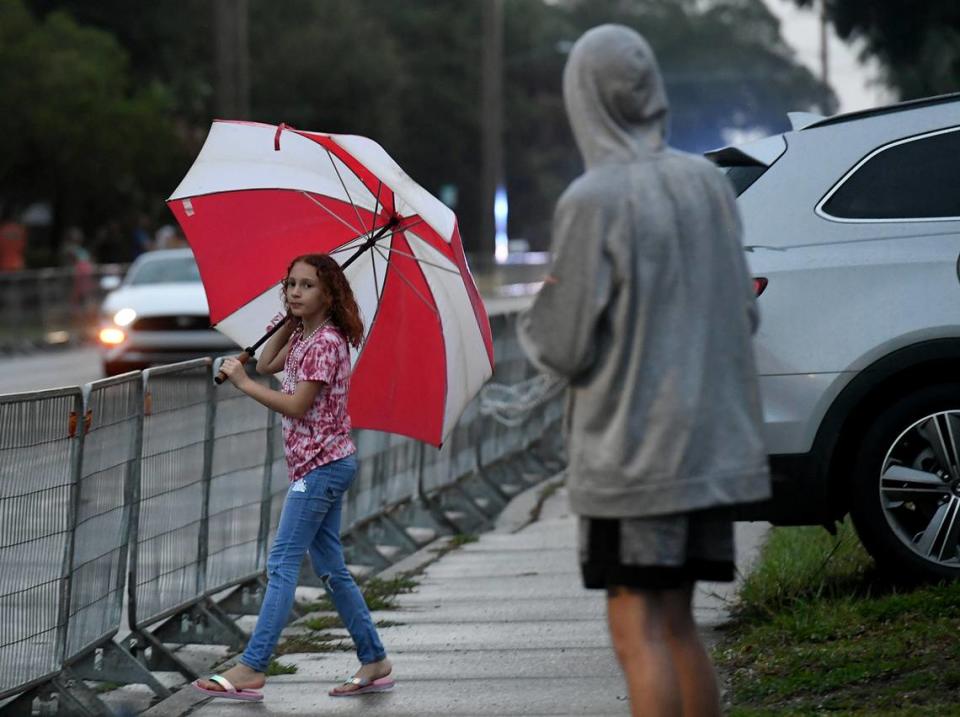
But Tropical Storm Arlene will continue to impact weather in the Bradenton area throughout the weekend, causing a rise in temperatures, rain chances and possible flooding.
The rainy weekend comes amid an extended drought in Southwest Florida, according to an official government forecast.
Tropical Storm Arlene forms in Gulf of Mexico
The chance of rain in Bradenton is still high for Friday and Saturday.
There is a 60 to 80% chance of rain on Friday and a 30 to 60% chance on Saturday.
“The highest rain chances should be from Interstate 75 and eastward,” Davis said. “And the least amount of rain is likely at the beaches.”
Drivers should be cautious, as the rainfall can lead to ponding of water on the roads with 1 to 2 inches of rain estimated with the tropical storm.
As for flooded streets inland, Davis said, “At this point, we’re not expecting any significant flooding due to the prolonged drought, and the rainfall shouldn’t be that much area-wide.”
The Sunshine State, which has been experiencing a drought, will actually benefit from the additional rain. According to US Drought Monitor, Manatee County is experiencing a “severe drought.”
Another factor of the tropical storm is the rise in temperature caused by all the humidity in the air. Friday and Saturday, the high is in the upper 90s; with the heat index, it could feel like 98 degrees outside.
“If people are outside, even if it’s cloudy, you need to stay hydrated and stay in the shade as much as possible. And if thunderstorms do develop, seek safety from the lightning. Lightning could be a problem as well,” Davis said.
Hurricane Hunters have found 40 mph winds and NHC has upgraded the system to TS Arlene. We still expect Arlene to weaken soon due to increasing wind shear and dry air, and no change has been made to the forecast with little to no impacts to FL. #FLwx. https://t.co/VD8ljHgJUX pic.twitter.com/dQcPgb6gY9
— NWS Tampa Bay (@NWSTampaBay) June 2, 2023
Bradenton weekend weather forecast
Friday: A chance of showers and thunderstorms, then showers likely and possibly a thunderstorm after 2 p.m. Mostly sunny, with a high near 90. Heat index values as high as 99. East wind 7 to 9 mph. Chance of precipitation is 60%. New rainfall amounts between a tenth and quarter of an inch, except higher amounts possible in thunderstorms.
Friday night: Showers and thunderstorms likely, mainly before 11 p.m. Mostly cloudy, with a low around 70. East northeast wind 8 to 10 mph. Chance of precipitation is 60%. New rainfall amounts between a quarter and half of an inch possible.
Saturday: A 30% chance of showers and thunderstorms, mainly after 2 p.m. Mostly sunny, with a high near 89. Heat index values as high as 98. Northeast wind 7 to 9 mph.
Saturday Night: A 30% chance of showers and thunderstorms, mainly before 8 p.m. Partly cloudy, with a low around 71. East northeast wind 6 to 9 mph.
Sunday: A 30% chance of showers and thunderstorms after 2 p.m. Sunny, with a high near 89. Northeast wind 7 to 9 mph becoming north northwest in the afternoon.
Sunday Night: A 30% chance of showers and thunderstorms, mainly before 8 p.m. Partly cloudy, with a low around 70. Northeast wind around 11 mph, with gusts as high as 18 mph.
Monday: A 20% chance of showers and thunderstorms after 2 p.m. Mostly sunny, with a high near 90. Northeast wind around 10 mph.
Monday Night: A 10% chance of showers and thunderstorms before 8 p.m. Mostly clear, with a low around 71. East northeast wind around 10 mph.
