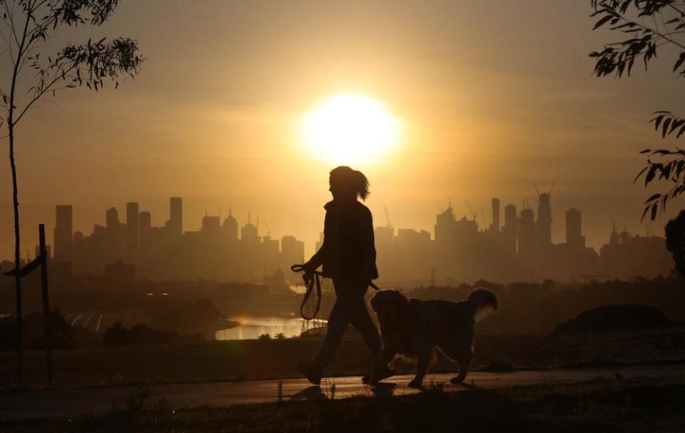
Late-season heat may hit weekend sport and break temperature records across eastern Australia

Unusual late-season heat across much of eastern Australia may affect weekend sport and potentially challenge temperature records, forecasters say.
Sydney and Brisbane have already been sweltering through a couple of days of unseasonal warmth, straining power supplies on Thursday evening. The national electricity market was also suspended in New South Wales for almost an hour on Friday.
Spot power prices just leapt for Queensland and NSW, in a repeat of last evening’s volatility. Points to tightening supplies. (Source @reddolphinsys) pic.twitter.com/0YpkWiswzp
— @phannam@mastodon.green (@p_hannam) March 17, 2023
Those in the Queensland capital endured maximum temperatures that felt almost like 40C with humidity on both Thursday and Friday, Bureau of Meteorology data shows.
Melbourne was forecast to cop 37C on Saturday, potentially making it the hottest day this late in March for 16 years, the Weatherzone senior meteorologist Ben Domensino said on Friday afternoon.
In the end, the maximum topped out at 36.2C, while several sites including the airport reached 38C or warmer.
Saturday's heat will nudge inland areas across much of eastern Australia into the mid-30s or higher. Melbourne may see 37C, @BOM_au says. pic.twitter.com/CiRo3NqMIO
— @phannam@mastodon.green (@p_hannam) March 17, 2023
“There’s a big hot air mass over the interior [of Australia],” Domensino said. “We’re getting these tongues of hot air being dragged towards the coast.”
Sign up for Guardian Australia’s free morning and afternoon email newsletters for your daily news roundup
Most of the summer had easterly winds, preventing much of the heat reaching the east coast. Those winds have now shifted to westerlies, bringing warmth that might catch people off guard.
Fire Danger Ratings (FDR) tell you how dangerous a fire could be if one started, and the actions you need to take. Many parts of Victoria tomorrow will have an Extreme FDR.
To find out your local FDR, visit https://t.co/ImyKJkhnMw.
Stay informed: https://t.co/FeB4eqPDfJ. pic.twitter.com/OfWeXy33Bs— VicEmergency (@vicemergency) March 17, 2023
“It’s unusual to have the heat this late but after such a cool summer in eastern Australia, that makes it even more noticeable,” Domensino said.
“Given people are doing slightly different activities at this time of year than they may be doing at the height of summer, it’s worth taking the precautions that you would take in the summer.”
Sydney’s maximum of 29.1C on Saturday meant the city will not deliver its first recorded run of four days above 30C in March. That warmth matched the average for daily maximums so far for the month, more than 4C above the long-run norm.
The strength of the sea breeze kept a lid on Sydney’s CBD temperature on Saturday, with 32C predicted for Sunday.
Sunday sees the heat shift further north, with temperatures in parts of Sydney nudging 40C. CBD may collect first recorded string of four 30C days, @Ben_Domensino says. pic.twitter.com/egx520RlLQ
— @phannam@mastodon.green (@p_hannam) March 17, 2023
Penrith in the city’s west is forecast by the Bureau of Meteorology to climb to 40C on Sunday, a level reached on in the earlier heatwave on 6 March.
The Sydney basin has only recorded two days that warm in autumn once – on 13 and 23 March 1998, Domensino said.
The warmth will start to break down over eastern states by early next week. Still, with some heat sticking around over north-western and central Australia, there is the potential for another burst of heat towards the end of March. The mercury, though, is unlikely to climb as high as during the current heatwave, he said.
The Australian Energy Market Operator suspended the wholesale electricity market in NSW alone for 55 minutes at 9.15pm AEDT on Friday after spot prices had spiked to well above $10,000 per megawatt hour in both Queensland and NSW.
“Aemo has determined that it has become impossible to operate the spot market in accordance with the provisions of the rules,” the operator said in a brief market notice.
Last June, Aemo suspended the wholesale market after soaring gas prices and unexpected coal-fired power plant outages made it difficult to match demand and supply.
Related: Gas shortages possible during bouts of extreme weather over next four years, Aemo warns
With power demand typically reduced over the weekend compared with weekdays, further market turmoil is less likely on Saturday and Sunday even with the heat extending to include large areas of Victoria, NSW, Queensland and the ACT.
Canberra was forecast to reach 36C on Sunday, higher than the capital’s record for March of 35.5C set in 2016, according to Bureau of Meteorology data.
Earlier this week, the bureau shifted its commentary on the main climate influences for Australia from a La Niña to an El Niño watch. The watch assessment implies there’s a 50-50 chance that an El Niño will develop in the Pacific.
During El Niño years, normally easterly equatorial winds stall or even reverse, shifting rainfall eastwards and increasing the risk of heatwaves and dry conditions for much of Australia.
“We are potentially staring down the barrel of a rapid transition to an El Niño later this year,” Domensino said.
“So it looks like that cooling influence of a La Niña that we’ve enjoyed in the last few years is now gone,” he said. “[What] we’re seeing right now [in eastern Australia] may unfortunately portend what may be more frequent next summer.”

 Yahoo Sports