
 Yahoo Sports
 Lines through history: uncovering the secrets of lost Roman roads

There has never been a better time for lovers of Roman roads – those seeking, and seeking to understand, the indelible but elusive lines tattooed onto the face of Britain by the Roman occupiers long ago. Thanks to new technologies and the recent labours of archaeologists and the Roman Roads Research Association, we can track and map thousands of miles of road more accurately than ever before and explain the extraordinary role that they played in the military, social and economic life of Roman Britain, as well as during the centuries that followed.
Roman roads might be unique in the archaeological record. I cannot think of a comparable artefact – something built in antiquity to a standard not surpassed for nearly two millennia – which is still used today for its original purpose and still influences our lives, dictates where we travel, determines which places prosper, and survives as other things too that we find useful: a footpath, a boundary, the subject of a photographic work of art. It is as if an amphora were still being used to store and transport olive oil.
All Roman roads begin at the Appian way. Widely considered to be the first all-weather military road built by the Romans, its earliest section allowed the army to march across the Pontine Marshes and keep its supply lines open during the Second Samnite War in the early 4th century BCE. In places, it is the archetypal Roman road of the imagination, cambered and paved with slabs of stone, and bordered by ditches with retaining walls.
In the conscious decision to go to the cost, in both time and resources, to engineer them to a standard high enough to take heavy wheeled traffic, in all weathers, to provide stone bridges and to allow freedom of movement along them with very few tolls, the roads built across the Roman Empire were unparalleled in the world until modern times. The classicist R Bruce Hitchener has expressed this idea most forcibly: “Roman roads annihilated distance to an unprecedented degree in antiquity” – a statement made with more than a nod to the eminent historian Fernand Braudel’s claim that throughout history, distance was humankind’s number one enemy.
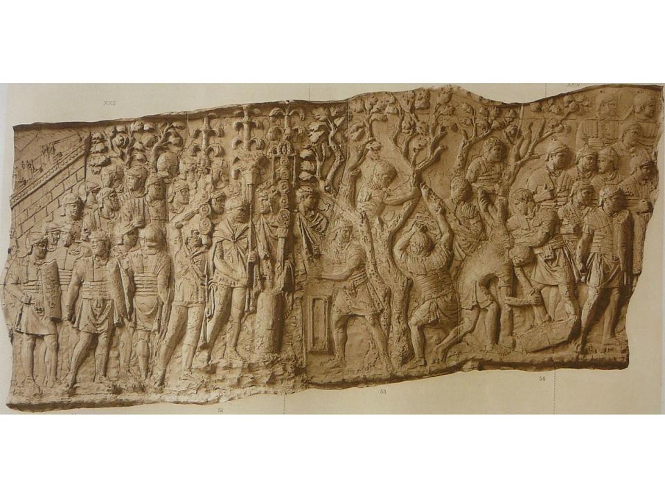
The history of Roman roads in Britain begins with the history of the Roman occupation, starting at a beachhead on the Kent coast, in the 43rd year of the first millennium. The Roman general Aulus Plautius, the man leading the invasion of Britain, is charged with capturing glory for Emperor Claudius, with plundering the island’s rumoured precious metals and pearls, with helping the “traitor” Verica put down the too-powerful Catuvellauni tribe. By some counts, Plautius lands on the Kent coast with an expeditionary force 10 times the size of the Norman army that will invade in 1066: four legions totalling 20,000 men and a similar number of auxiliary forces – slingers, archers and cavalry, supplied by client states. Once they win the initial skirmishes, the invaders begin their march inland along the line of what will, centuries later, be called Watling Street, the first and most important of Britannia’s Roman roads. Temporary campaign roads roll out westwards, establishing routes that will be highways for two millennia and more; no small testament to the courage and expertise of scouts and surveyors taking the measure of a hostile land. The legions arrive at Rochester and their first major battle, traditionally at the Medway – the first of the two river battles attested a century and a half later by the Roman historian Cassius Dio. The Britons fall back to the far bank of the Thames and the line of Watling Street pursues them to the river’s edge, bringing troops and supplies and military despatches.
***
I could have trekked one of the great ways like Watling Street to tell the story of Roman roads, but instead I followed one of the lesser ways. Oliver Rackham, the great historian of the English countryside, wrote about those Roman roads that survive only in bits and pieces between places that stopped being important long ago, calling them “more eloquent” than any that became modern roads. He singled out one in particular. “But what of the road between Braughing and Great Chesterford?” he wrote. “There were still people in these Essex-Hertfordshire backwoods for whom bits of it were of use as local roads. Every few years, through the darkest of the Dark Ages, there has been somebody … to take a billhook to the blackthorn on two short stretches of Roman road, which stand out by their straightness amid the maze of lanes.” This is the road we shall try to follow. An “eloquent road”, so it will speak to us if we are prepared to listen. Eloquent suggests fluent, forcible, powerfully expressive, lyrical. It can be all these things. Let’s have a conversation with this road. It will tell us stories.
This will be paean too, an ekphrasis, a love letter, an attempt to describe the remains of one of those extraordinary feats of human endeavour that are hidden all around us, not as we might usually describe a layer of stones laid across the land, but with much the same reverence and attention that we might give to a great painting, a cathedral or a poem.
The hunt for a road’s essence and why it fascinates us is as important as the hunt for its physical remains, which is why I have widened the customary evidence base for a road to poems, church walls and hag stones; oxlips, killing places and Rebecca West; hauntings and immortals and things buried too deep for archaeology. After 2,000 years, the road I am hunting is now made of these things as much as it is of gravel and sand. It is important to remember at the outset that many of us who love Roman roads love them not because they are roads, but for what they have become over centuries of use and misuse. It is a hunt through time and space – for a physical road but mostly for its quiddity and for its charms too – though even that often seems like a proxy for searching for something else. I think that something else might be the power to time travel. I have discovered various ways to accomplish that. I began by pretending to walk in the footsteps of the legions but I want to get beyond that cliche; to get at what it is to encounter something concealed in the landscape that transports us into the past, or transports the past to us in the present. A Roman road is uncanny, singular in its capacity to reflect both continuity and change over such a long period of time; it can manipulate time and space and open up no end of ways to the past: historical, archaeological, anthropological, technological and poetic. It makes a fine time machine.
***
Our road begins in a field somewhere you’ve never heard of, behind a pub on the goblin ridge. Here is one of the busiest road hubs in Roman Britain: an octopus of routes stretching to the points of the compass from this eight dials in Hertfordshire: all the way to Kent, to the sea and beyond to the continent along ancient roads. An unbroken channel of communication far beyond Hertfordshire and Essex, to the potteries on the banks of the River Guadalquivir in southern Spain, to the imperial mint at Arles on Gaul’s Mediterranean coast. As far away as the vineyards of Campania on the Tyrrhenian Sea and beyond into Asia Minor and North Africa, from the Nile to the Atlantic at Rabat along a coast road nearly three thousand miles long.
A Roman road is uncanny, singular in its capacity to reflect both continuity and change over such a long period of time; it can manipulate time and space and open up no end of ways to the past
Closer to home, roads once led east to Camulodunum and west to Verulamium, south to Londinium and north to Lindum and Eburacum. Direct roads from a tiny Hertfordshire village to five of the six most important towns in all of Britannia: today’s Colchester, St Albans, London, Lincoln and York.
We only know the roads are here because of a rather special cropmark that emphasises the startling contrast between Braughing’s modern-day obscurity and its importance in antiquity. In 1959, a field known as Drage’s Mead, behind the White Hart Inn in Puckeridge, a village bordering Braughing, was ploughed and sown with wheat for the first time in living memory. The following summer the soil sprouted something more impressive than cereal: a diagram in corn of the meeting of ways, a rune or cuneiform wedge of Roman roads imprinted in the crop by the stones beneath the soil. One line came in from the south, thickened, changed angle and headed off north-west. This was the great Ermine Street. Another was but a hint of something, a faint mark continuing the line of a hedge running east to west. Here was the Essex Stane Street, the Colchester Road, on its heading from Horse Cross just over a mile and a half away, but it is the third, nameless trace that should interest us the most: from the junction it travelled a few yards north to the field boundary, where it disappeared into a hedge. It is our road at its origin.
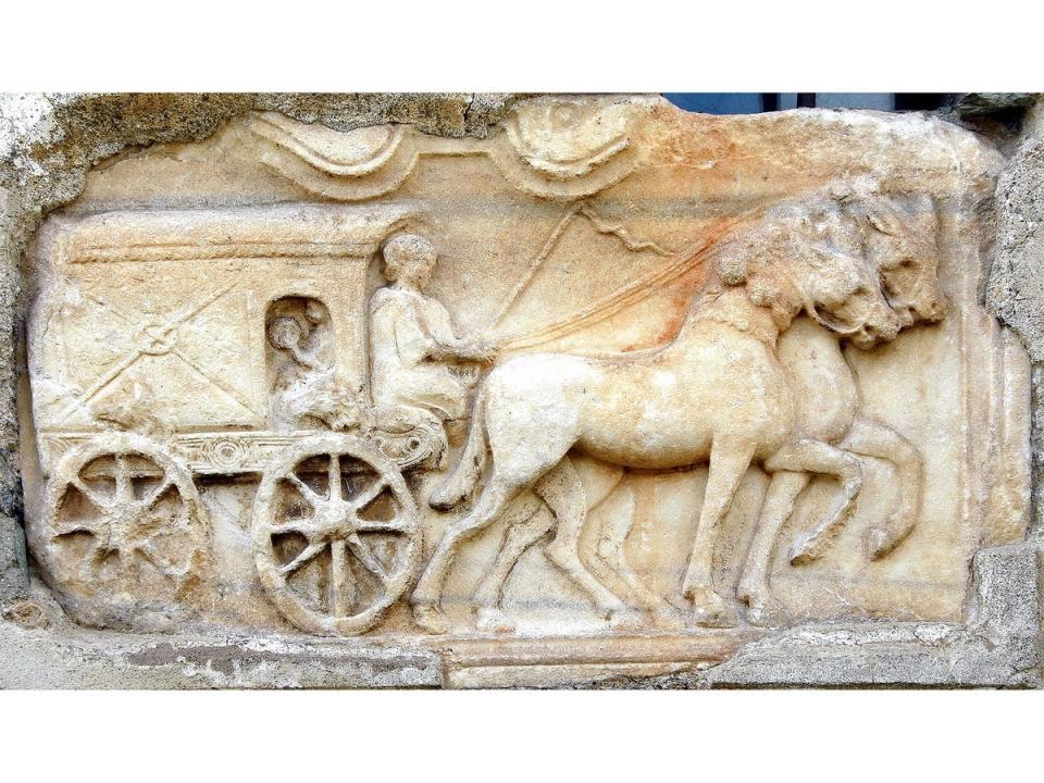
Picture Braughing teeming with traffic: porters and pack animals, four-wheeled wagons and carts on two wheels of all weights and speeds, slow creaking farm wagons drawn by horses, mules, oxen or men. Most comfortable of all, the rich in litters on the shoulders of slaves, spared from feeling every stone on the road in an age without suspension. Swiftest of all, the couriers of the cursus publicus, the imperial postal service, carrying urgent dispatches on horseback or by light carriage. These messengers could regularly cover as much as 50 miles a day and twice as many in extremis. One of the stone buildings, usually described as a double-winged villa, was possibly a mansio – an official overnight stopping place for imperial couriers and travellers on state business. Our rider stops for a while, visits the bath house, takes a meal, exchanges news and perhaps horses too, and then canters away north or south, or maybe climbs steeply northeast in the same direction we are headed, leaving Roman Braughing far behind.
***
How could our road and the hub in Drage’s Mead disappear? What happened to it? How can we make it anew from what is left?
I imagine the grass spreading inwards from the margins and turning the road green in the years after the legions left. Willowherb, groundsel and bindweed tunnelled through the gravel and chalk and few did anything to tame them. Those who knew where the road had gone and where it came from said it only brought trouble and sickness now, and so did nothing to discourage the brambles where they caught at passing feet. In places people took mattocks to it, violently, as sure as raising a drawbridge. When spring arrived, the bluebells painted the surface brighter each year. Dog’s mercury poisoned the berm. Most used the lesser ways now, local ways, older ways and newer ways. Cloudbursts mired the once great road, loosening the pebbles where the ruts cut deepest so that some washed from the metalling into the side ditches. This achievement of man, a link in a great web at the edge of empire, now weighed heavy on a land the Romans had spent nearly 400 years inscribing with roads. Ten thousand miles of them. There would be nothing to rival the endeavour for over a thousand years, until the coming of the railways in the 19th century; no one would build and repair roads on the same scale until the first motorways in the 20th.
Time and weather erased these Roman labours. They rotted the bridges and brought down trees across the route so that travellers went a different way round. The clay itself began to swallow lengths of the road, drawing its hoggin back into the land. When the crossing places slipped and drifted, the road lost its purposefulness, its directness. Carters found an easier ford downstream, a kinder gradient out of the valley, and they robbed out the old ways and broke up its milestones to mend the new ones.
Only flights of rooks remembered the road’s long cambered trail and followed the shadow path that still showed at first light
Abandoned Roman farmsteads on the heavy lands disassembled themselves and their contents into fragments of tile and sherd to temper the black earth and give testimony that people travelled this way once and stayed a while. When the population shrank again – after plague and calamity – few farmed the clay anymore so the hilltops over which the road ran tumbled down to woodland. In parts now, it was a blackthorn hedge, in others a thicket where founderous ash and oak took root, until entire woods hid what was left. Within them, swine rooted among the stones. Only flights of rooks remembered the road’s long cambered trail and followed the shadow path that still showed at first light.
In later years, the men who returned to cultivate the clay stocked up the smooth ginks and the flints and with their ploughshares and mouldboards ate at the foundations ever more ruinously. They severed the ways with glebe and quarry, founding estates across it that forbade trespass. An entombing till and silt slid off the valley sides, a slow deceitful fluxion of the earth, an eroding, concealing, smoring, gnawing thing. The wanton outrage of improvement quickened: the road thinned and denuded by the great plough, the steam plough, the mole plough, the bulldozer. And then it was gone. Wasn’t it?
After a thousand years and more they came to this corner of Hertfordshire and Essex looking for the road, first on foot and horseback, later from the skies. Callous in their curiosity, they prayed that the parched earth would give up its secrets. But the harder they looked, the more they seemed to doubt it was there. Two thousand years after the road opened to the traffic of Roman Britain, sections of it remain, not as the motorway it was in ancient times – there to speed an army to its fort or bring pots from the kilns – but as a bridleway, as the footings of a windmill, a green baulk, a country road, or the line of a parish boundary. It is some 14 miles from end to end – a day’s march. A little over a mile and a half is still road, in three short sections. Another two and a half miles are public rights of way now – green-dashed footpaths and bridleways on the map.
For the rest of its course, the road is lost, severed by cornfield, woodland, lake and pond, driveway, paddock, riverbed, garden and building, across 14 parishes, five of the old hundreds, three counties, five rivers, countless tributaries and one watershed. It was still there if you knew where to look. Erased and indelible. Mutable and constant. Look. There. Running straight towards that boundary oak. Running back in time. Was that a thickening, a deepening, a terracing, a bounding and bordering, a resistance to a fence post, a ringing of the pick handle on the ground? No trace… Faint trace… Possible line… Little trace… No surface indication… Suggestion of course… no trace… course uncertain… no trace.
‘The Road: A Story of Romans and Ways to the Past’ is published by William Collins. RRP £20, available here
